
Where Earth Meets
Intelligence.
Terrabyte Geosystem Indonesia combines precision survey and monitoring technology with AI analytics, turning earth data into clear, timely decisions.
Slope displacement trend
01 — WHAT WE DO
From the ground, to the data, to the decision.
One integrated flow: reliable instruments in the field, analytics that make sense of their data, and a team watching over it.
Precision instruments
Slope radar, GNSS receivers and hydrographic survey vessels, supplied and supported as an authorized Lextera partner.
TerraPulse-AI
Our analytics platform turns monitoring data into trends, insights and early warnings your team can act on.
TerraWatch center
A monitoring center that keeps continuous watch over site conditions and supports fast response.
02 — PRODUCTS
Instruments built for precision.
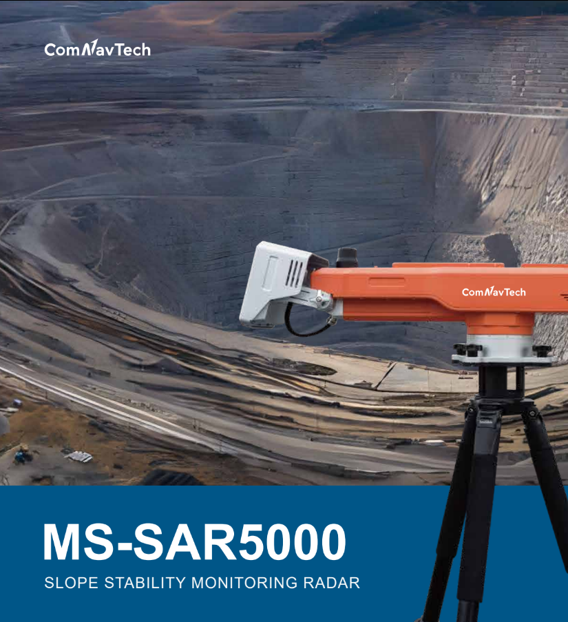 RADAR
MS-SAR5000
Real-time slope displacement monitoring with early warning of potential failures.
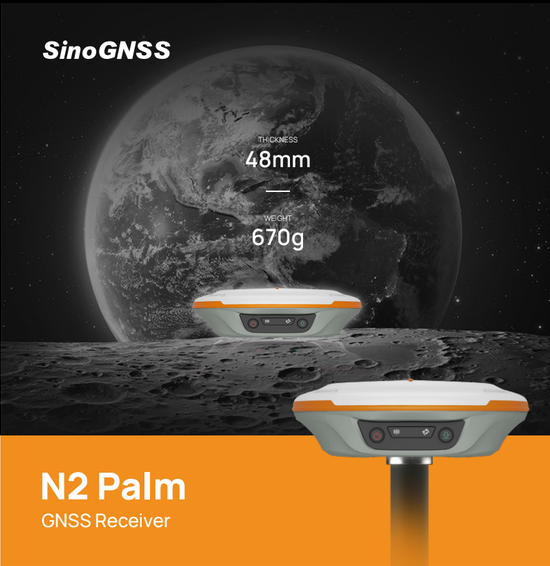 GNSS
ComNav GNSS Receivers
Satellite positioning for accurate survey, mapping and construction work.
 SURVEY VESSEL
SV600 USV
Unmanned surface vessel for mapping ports, rivers and water bodies.
03 — SOLUTION
Feel the pulse
of your ground.
TerraPulse-AI brings your monitoring data into one platform, finds the patterns that matter and flags risk early, so decisions happen before problems do.
- ✓Unified view of sensor data
- ✓Trend analysis and early warnings
- ✓Backed by the TerraWatch monitoring center